Remote sensing is vital to any geologist for mineral exploration or mapping with enhanced efficiency.
This was the assertion of an
image processing specialist, Neil Pendock at a one-day workshop in Abuja.
According to him, Nigeria, with a stable democracy and rich mineral resources can compete favourably with other equally mineral rich nations, if only it can organise its data better in a more transparent manner, a feat that is readily achievable with the remote sensing technology.
“So using remote sensing is very important. Take for example you want to map banded iron stone, pegmatite, hydrocarbon, phosphate, lead, zinc, etc., I can show you what title you can get free from the satellite, and how you would download, process, interprete, and use that title,” he said.
Pendock explained that the usefulness of the technology transcends efficiency in deposit mapping to management.
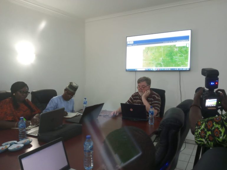
The expert who revealed that in 1999, a satellite technology was launched in Japan which is used in mineral exploration and mapping business more efficiently explained that the Japanese satellite technology has three systems of interest, visible near-infrared, short wave infrared, and long wave infrared for mapping different minerals of interest.
“If you have someone from China, for instance, coming down to Nigeria to get a mining licence and operate, you can watch what they are doing using the remote sensing technology,” Pendock stated.
He stressed that the technology can also be used in mapping hydrogen gas which is the future of energy source for nations, including Nigeria.
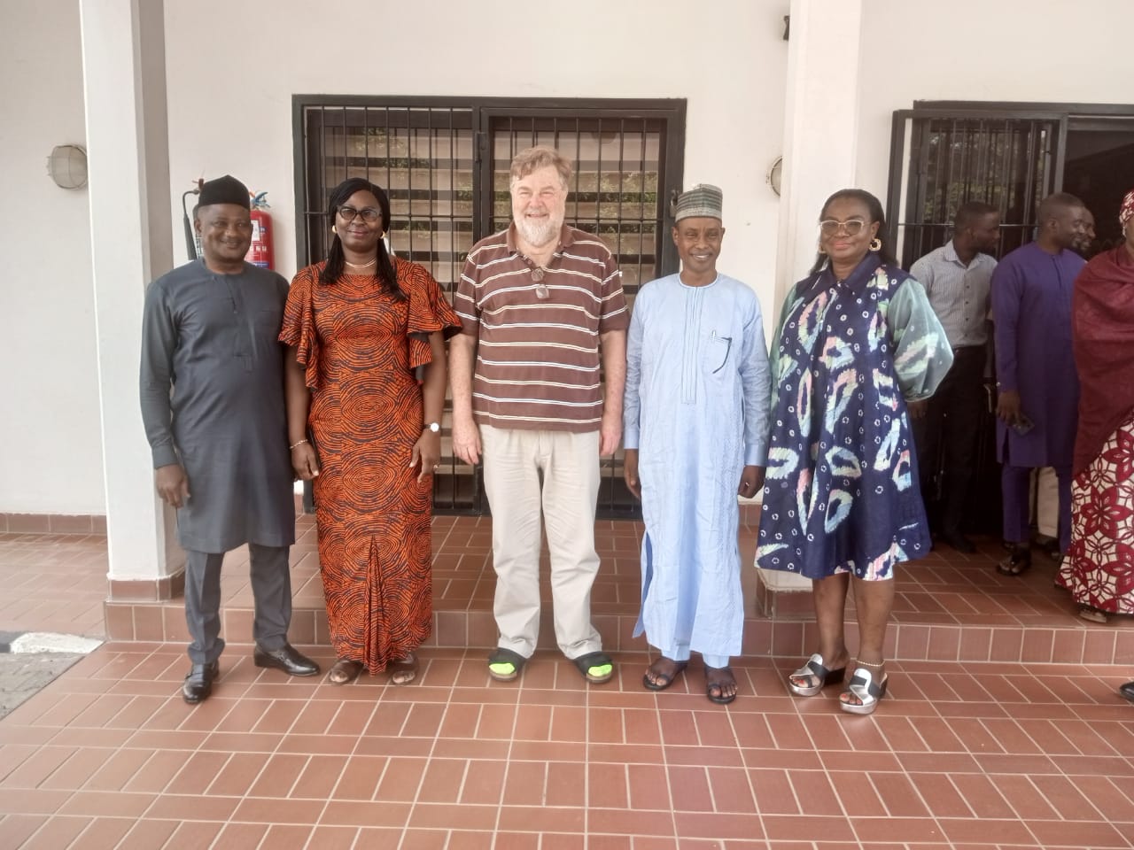
Also speaking, the head of Geoscience Data Management at the Solid Minerals Development Fund, Kefas Malgwi, explained that the workshop, is aimed at improving the nation’s exploration activities to discover world-class deposits to attract investors to the country using the Japanese technology to interprete with accuracy the mineralisation.
The workshop was organized by the Nigerian Solid Minerals Development Fund (SMDF) for its technical staff, staff of the Ministry of Solid Minerals Development (MSMD), Council of Nigerian Mining Engineers and Geoscientists (COMEG) among other relevant agencies on the use of remote sensing imagery for geological applications.
By Georgina Humphrey
-
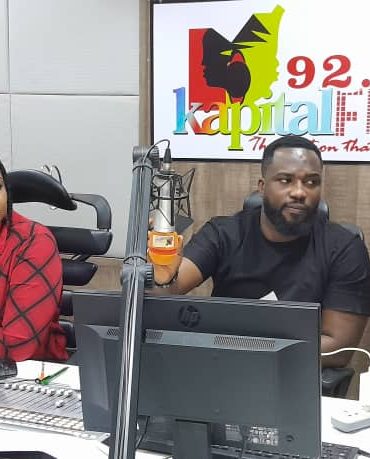
DayBreak on Kapital Show
With Ife and Bendodo
Welcome to our extraordinary breakfast show, where the sun has just begun to peek over the horizon, and the world is ripe with endless possibilities. From the early hours of 5AM to 10AM on weekdays, we invite you to indulge in a symphony of captivating content that will set the perfect tone for your day.
close Top popular


Post comments (0)